Poland. More than you expected.

Inspirationen
Polen, mehr als Sie erwarten
Discover our regions – Entdecke Polen
Besuchen Sie Polen und die Regionen
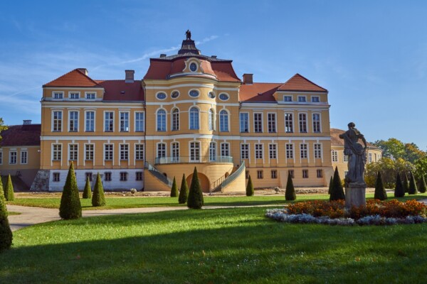

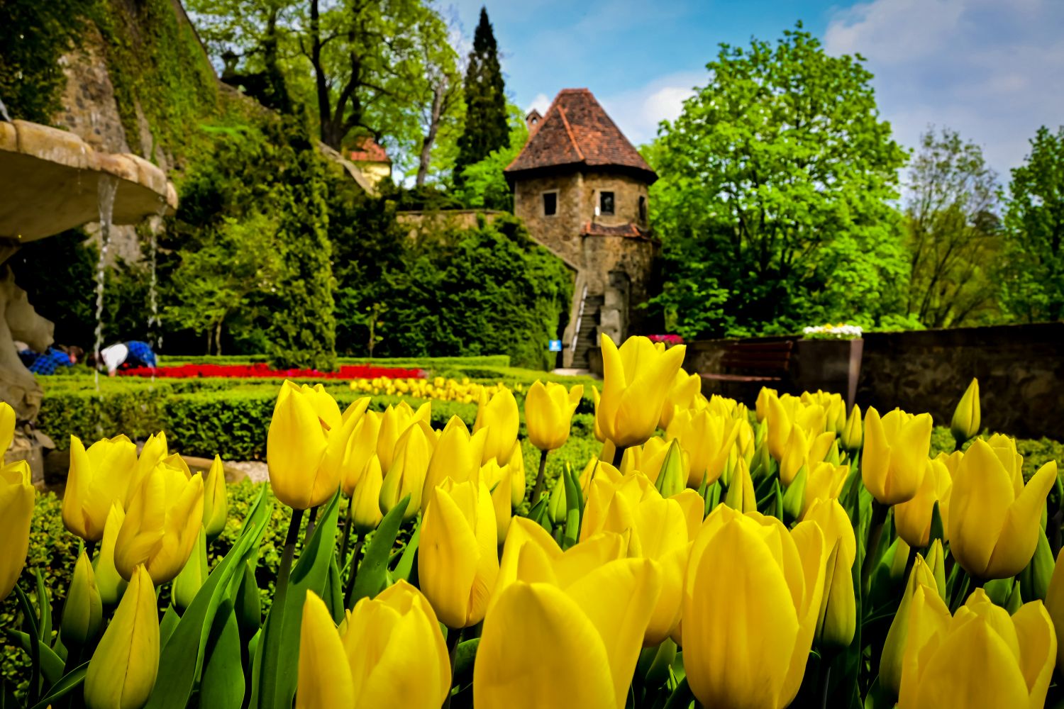
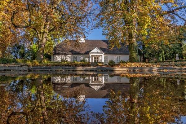
Die Woiwodschaft Wielkopolskie (Großpolen) liegt im westlichen Teil Polens. In dieser Region steht die Wiege des Staates Polen. Die Besucher finden dort zahlreiche Zeugnisse der mehr als 1000-jährigen Geschichte des Landes.
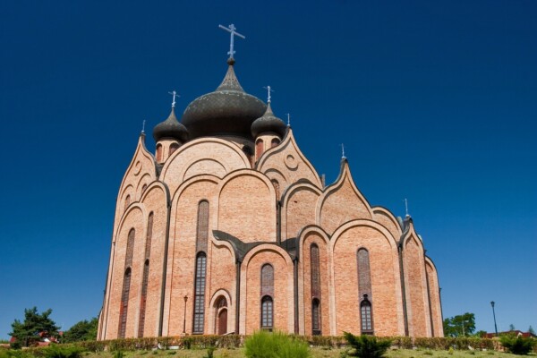
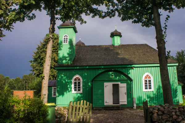

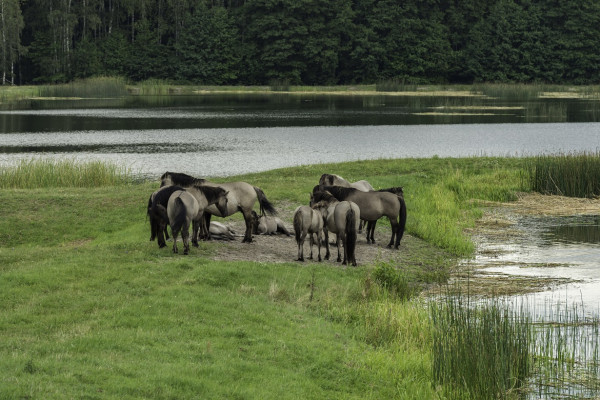
Podlasie (Podlachien) liegt im äußersten Nordosten des Landes und gilt mit insgesamt vier Nationalparks als eines der Naturparadiese Polens. Überall findet man in der Woiwodschaft Zeugnisse der multikulturellen Geschichte und Gegenwart.
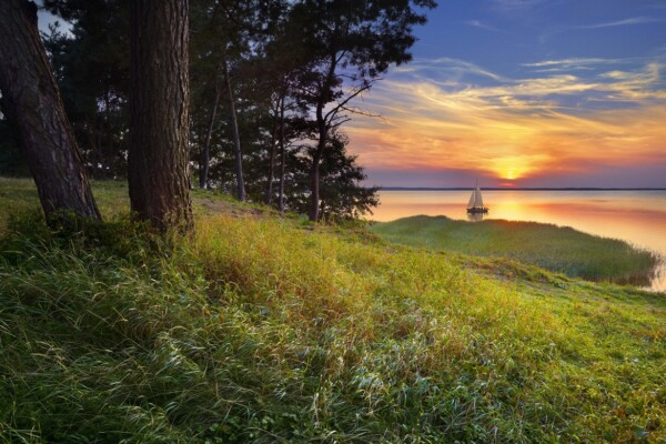
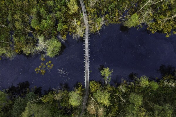
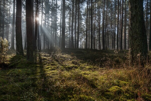
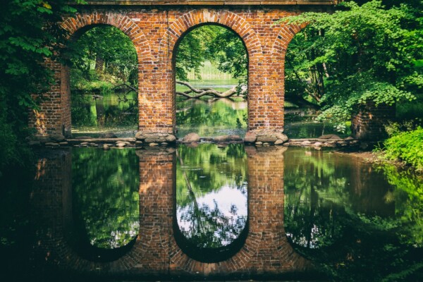
Die Woiwodschaft Warmińsko-Mazurskie (Ermland-Masuren) wird als Land der Tausend Seen bezeichnet, dabei gibt es sogar mehr als 3.000 stehende Gewässer. Mit ihren ausgedehnten Wäldern gilt die Region im Nordosten Polens auch als grüne Lunge Europas.
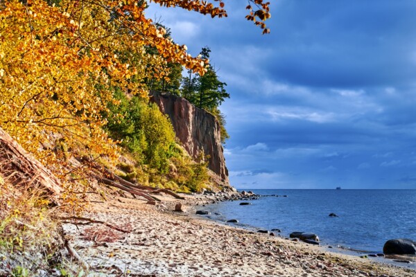
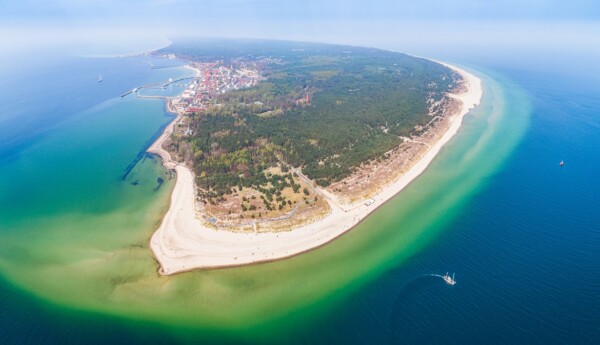
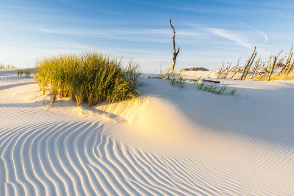
Die Woiwodschaft Pomorskie (Pommern) umfasst den östlichen Abschnitt der Ostseeküste und deren Hinterland. Neben bekannten Seebädern befinden sich dort zahlreiche wertvolle Baudenkmäler. Beliebt bei Aktivurlaubern ist die Kaschubische Schweiz.
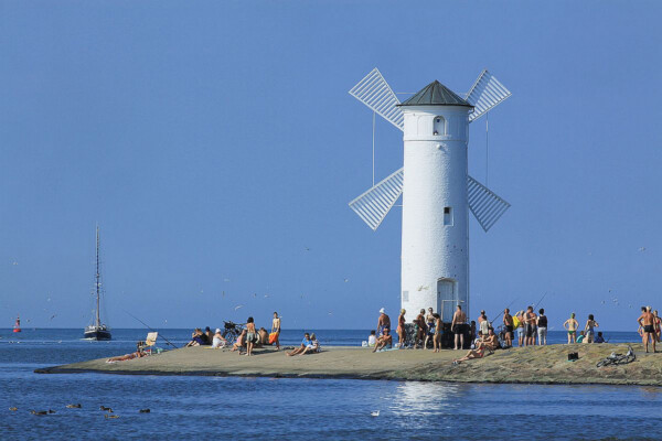
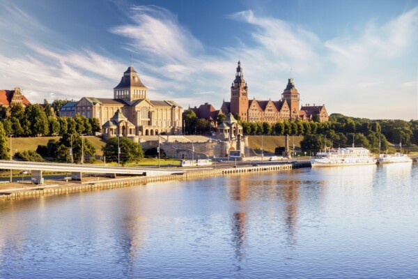
Die Ostseeküste und die Pommersche Seenplatte sind die wichtigsten Ferienzentren von Zachodniopomorskie (Westpommern) im Nordwesten Polens. Die bekannten Kurorte werden auch von vielen deutschen Gästen besucht.
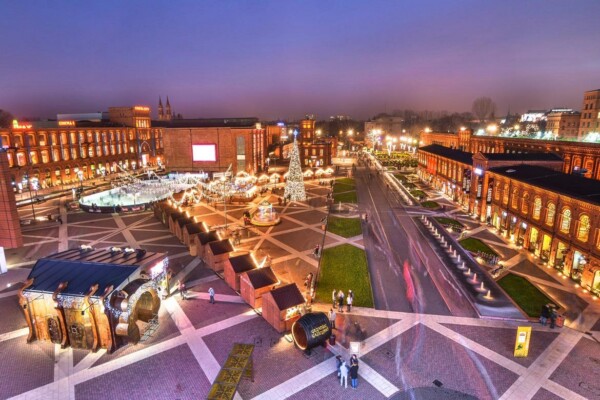
Die Woiwodschaft Mazowieckie (Masowien) ist geprägt durch die im Zentrum gelegene Hauptstadt Warszawa (Warschau). Doch neben diesem Ballungsgebiet gibt es auch dünn besiedelte grüne Landstriche. Mehrere kleine Städte blicken auf eine über 1000-jährige Geschichte zurück.
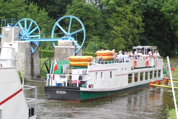
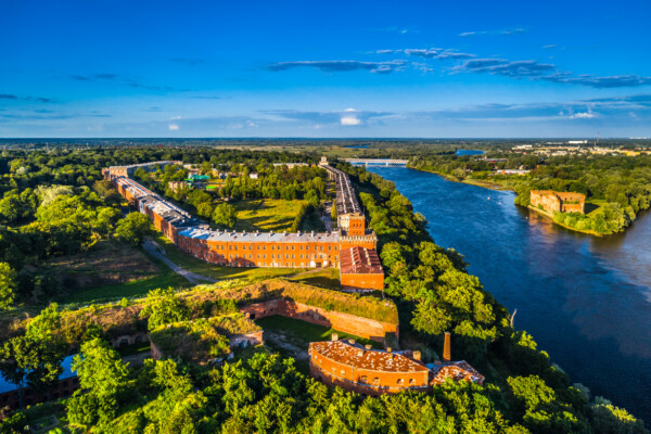
Die im Norden Polens gelegene Woiwodschaft Kujawsko-Pomorskie (Kujawien-Pommern) wird durch den Lauf der Wisła (Weichsel), mehrere kleine Flüsse, Seengebiete und ausgedehnte Wälder geprägt.
Die im Zentrum Polens gelegenen Woiwodschaft Łódzkie (Lodscher Land) verfügt über bedeutende Kulturschätze und wertvolle Naturräume. Pferdefreunde können auf dem längsten Reitweg Europas die Woiwodschaft erkunden. Er führt über mehr als 1.800 Kilometer.

Oder und Neiße markieren die westliche Grenze der Woiwodschaft Lubuskie zu Brandenburg und Sachsen. Die dünn besiedelte Region ist wald- und seenreich und bietet damit beste Voraussetzungen für einen aktiven Urlaub in der Natur.
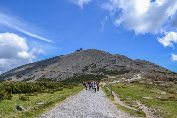
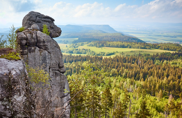
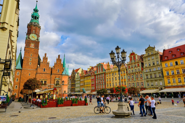
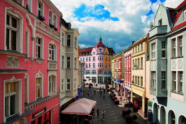
Die im Südwesten Polens gelegene Woiwodschaft Dolnośląskie (Niederschlesien) zählt bei deutschen Gästen zu den beliebtesten Ferienzielen in Polen. Neben der Hauptstadt Wrocław (Breslau) werden vor allem das Riesengebirge und die Kurregion des Glatzer Berglandes besucht.
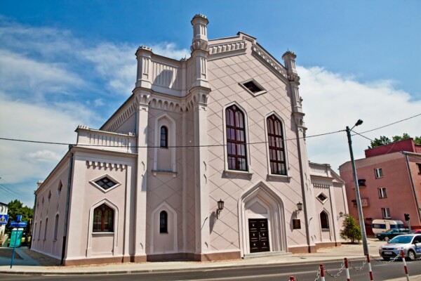
Die Woiwodschaft Opolskie (Oppelner Land) ist das Zentrum der deutschen Minderheit in Polen. Hauptstadt und gleichzeitig auch kulturelles Zentrum ist Opole (Oppeln) mit etwa 130.000 Einwohnern.

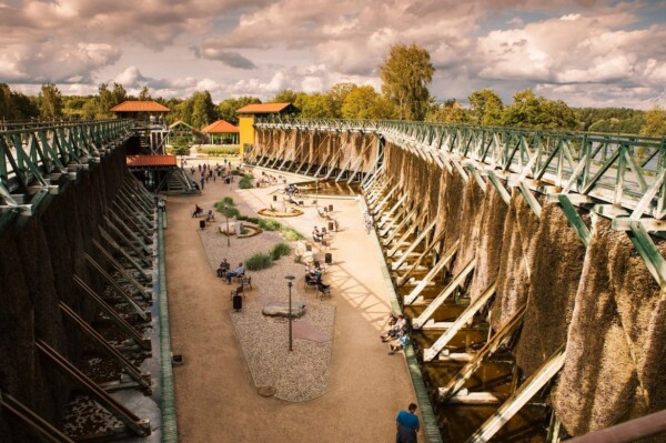
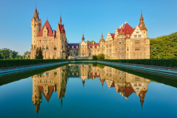
Die ehemalige Bergbauregion bildet das Zentrum der Woiwodschaft Śląskie (Schlesien). Die technischen Denkmäler des 19. Jahrhunderts sind heute beliebte Touristenziele. Doch zur Region gehören auch die Feriengebiete in den Schlesischen Beskiden.
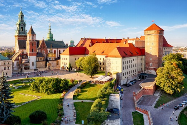
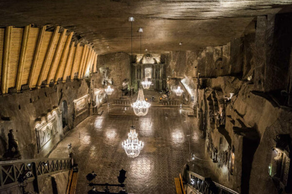
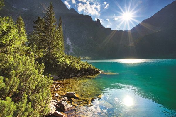
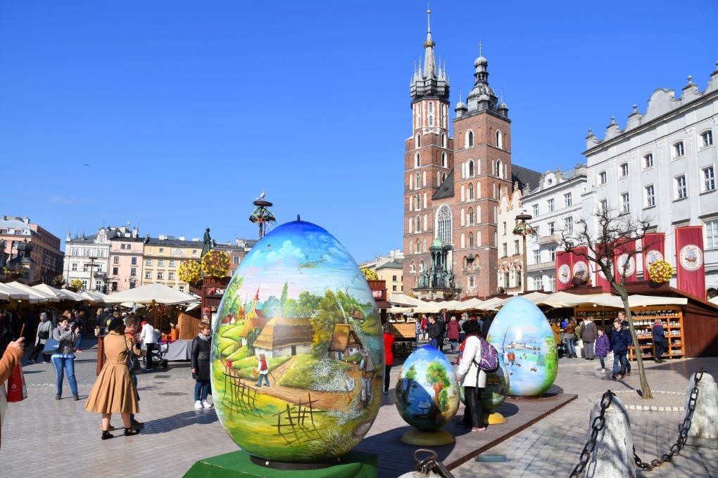
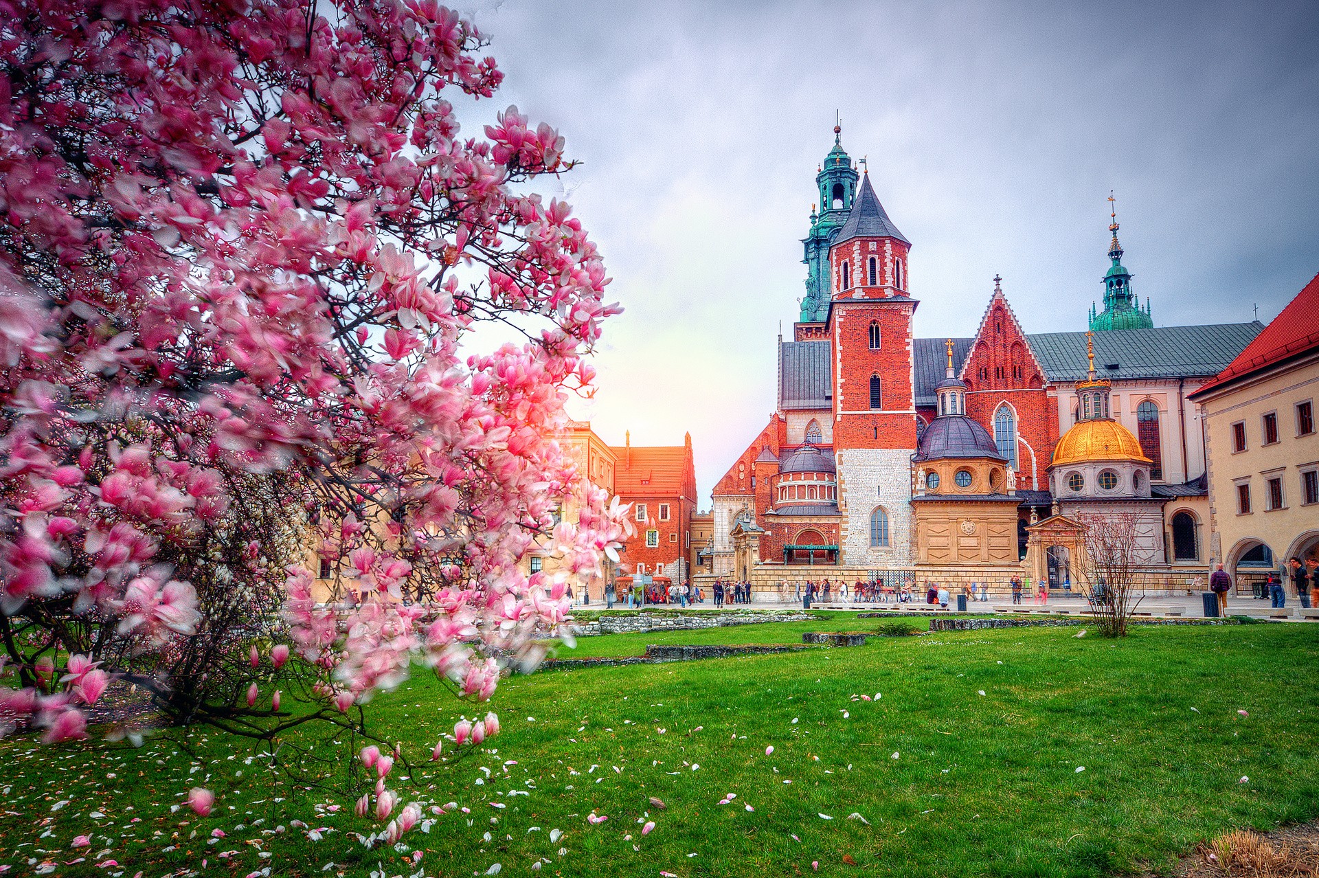
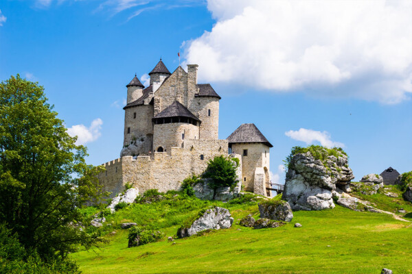
Die Woiwodschaft Małopolskie (Kleinpolen) ist eine der für Touristen attraktivsten Regionen Polens. Dazu tragen neben der Kulturstadt Krakau vor allem die Gebirge im Süden der Woiwodschaft bei. Von den 23 polnischen Nationalparks liegen insgesamt sechs auf dem Territorium von Kleinpolen.
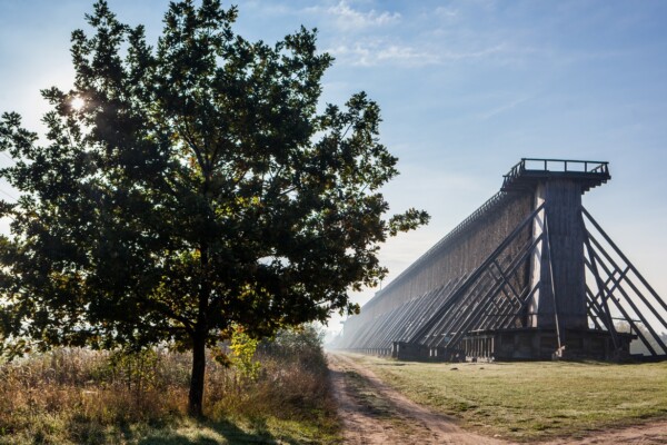
Namensgeber und Mittelpunkt der Woiwodschaft Świętokrzyskie (Heiligkreuz) ist das Heiligkreuz-Gebirge. Es gilt als ältestes Gebirge in Europa und entstand vor 520-400 Millionen Jahren. In der Region befinden sich einige wertvolle technische Denkmäler.
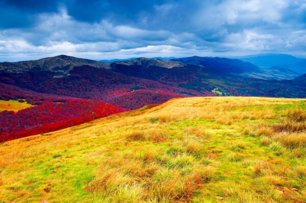
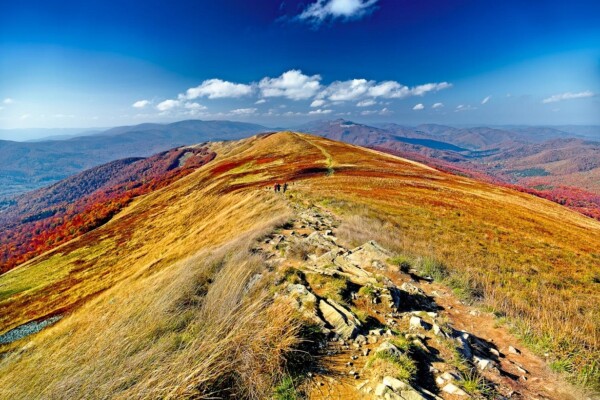
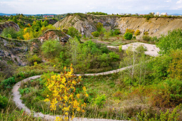
Die Ausläufer des Karpatenbogens bestimmen den südlichen Teil der Woiwodschaft Podkarpackie (Vorkarpatenland). Dort befindet sich auch die dünn besiedelte Gebirgsregion der Bieszczady, ein Paradies für Aktivtouristen.
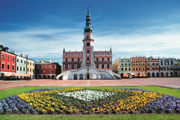
Der dünn besiedelte Südosten Polens wird gerne auch als die Toskana Polens bezeichnet. Nicht nur die Landschaft der Woiwodschaft Lubelskie (Lubliner Land) erinnert an Italien; auch manche Städte verbreiten südliches Flair.

ZERTIFIKATE DER POLNISCHEN TOURISMUSORGANISATION 2025


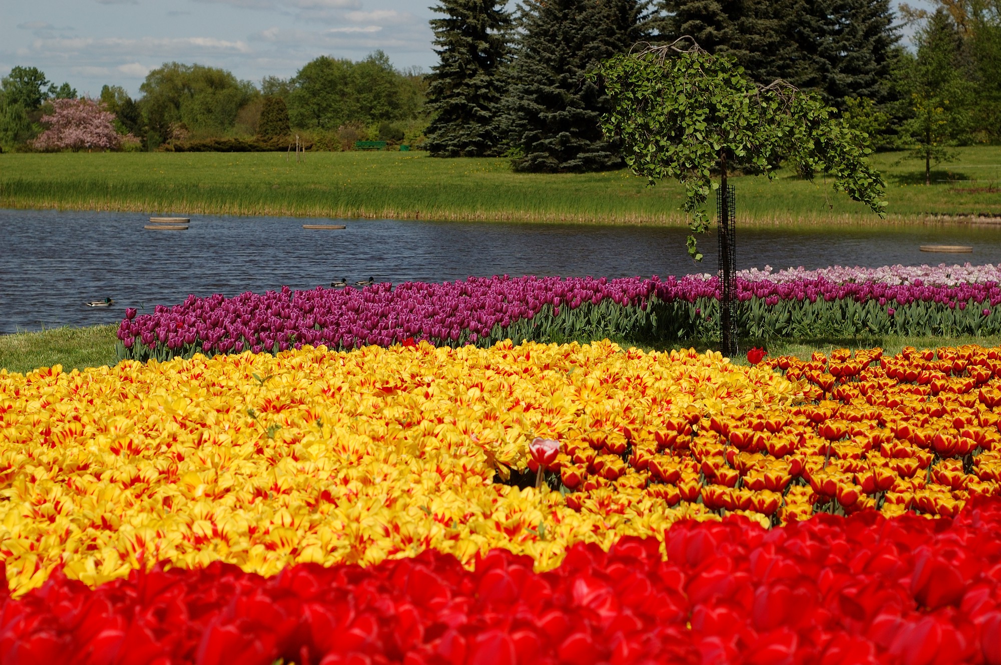
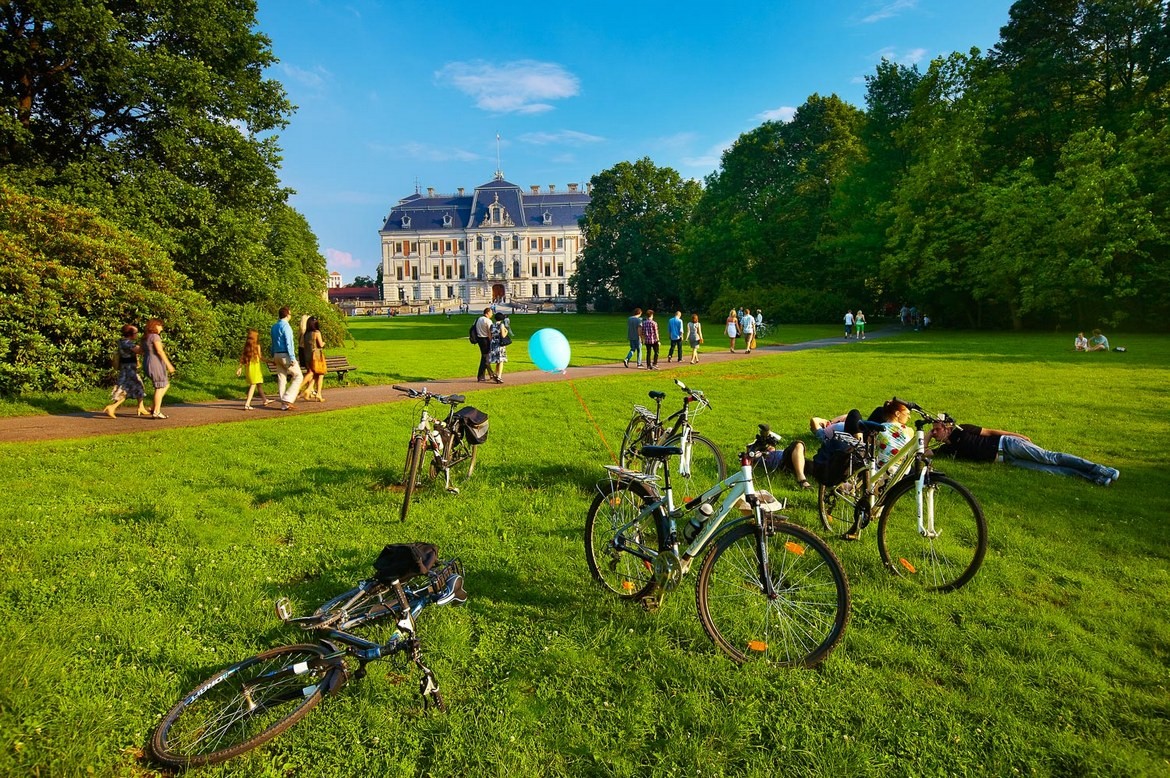
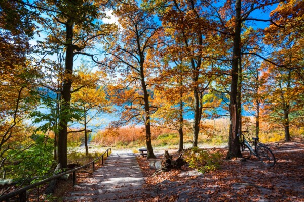
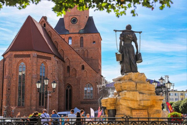
Fotos aus Polen